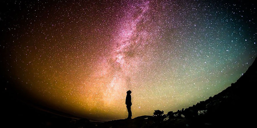
GPS dead and your map soaked from hours of rain? Maybe you never learned to use a compass properly in the first place. Even when everything fails and darkness settles around you, you are not helpless. Long before satellites, phone apps, or laminated topo maps existed, people crossed oceans, deserts, and forests with nothing but the night sky as their guide. Those ancient travelers trusted the stars, reading patterns in the darkness the same way we read symbols on a map today.

The wilderness hides an entire menu most people never notice. Every landscape—whether it’s a dense forest dripping with moss, a barren desert cut open by heat, or a cold coastline pounded by tides—offers something that can keep you going if you understand how to read the environment. Edible plants blend into the scenery, insects gather beneath fallen logs, and small creatures move through predictable patterns that trained eyes can recognize.
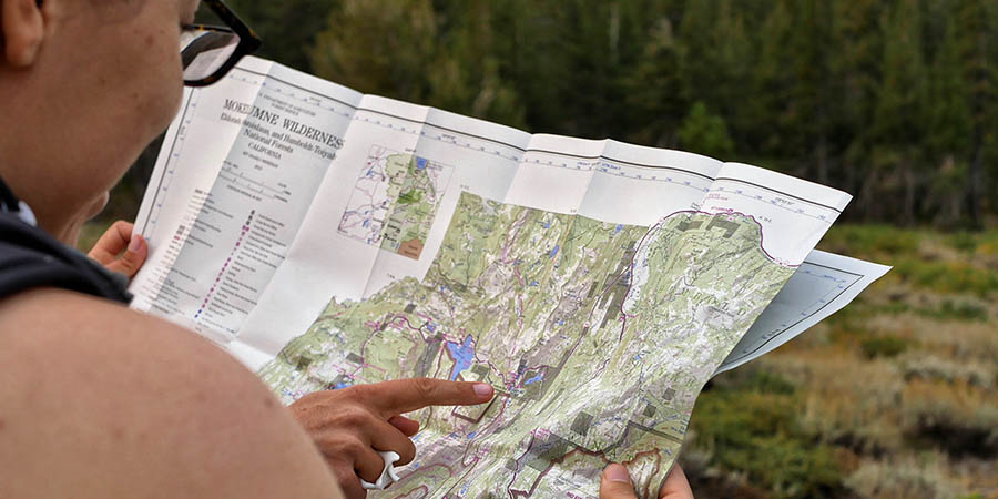
What’s the real difference between a familiar everyday map and a topographic map? A topo map lets you look at the land the way it actually exists — in three dimensions — even though it’s drawn on a flat sheet. Elevation, slopes, valleys, ridgelines, rivers, vegetation density, and the way the land bends or rises all become readable when you know how to interpret the contour system. That single feature is what separates a topo map from other kinds of maps and makes it one of the most powerful tools for anyone spending time off-trail, deep in parks, mountain regions, or backcountry terrain.
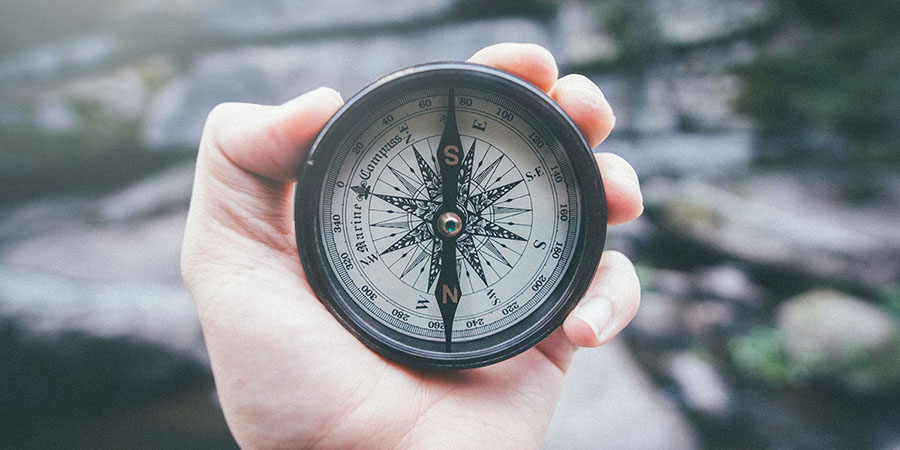
Learning to use a compass alongside a map is one of those outdoor skills that quietly becomes invaluable the moment something goes wrong — when visibility drops, trails disappear, or you’re exploring unfamiliar ground. Even if you’re comfortable reading maps on their own, a compass adds precision, confidence, and the ability to navigate safely across featureless landscapes. It’s also something you can rely on when batteries die or your phone loses signal in the middle of nowhere.